
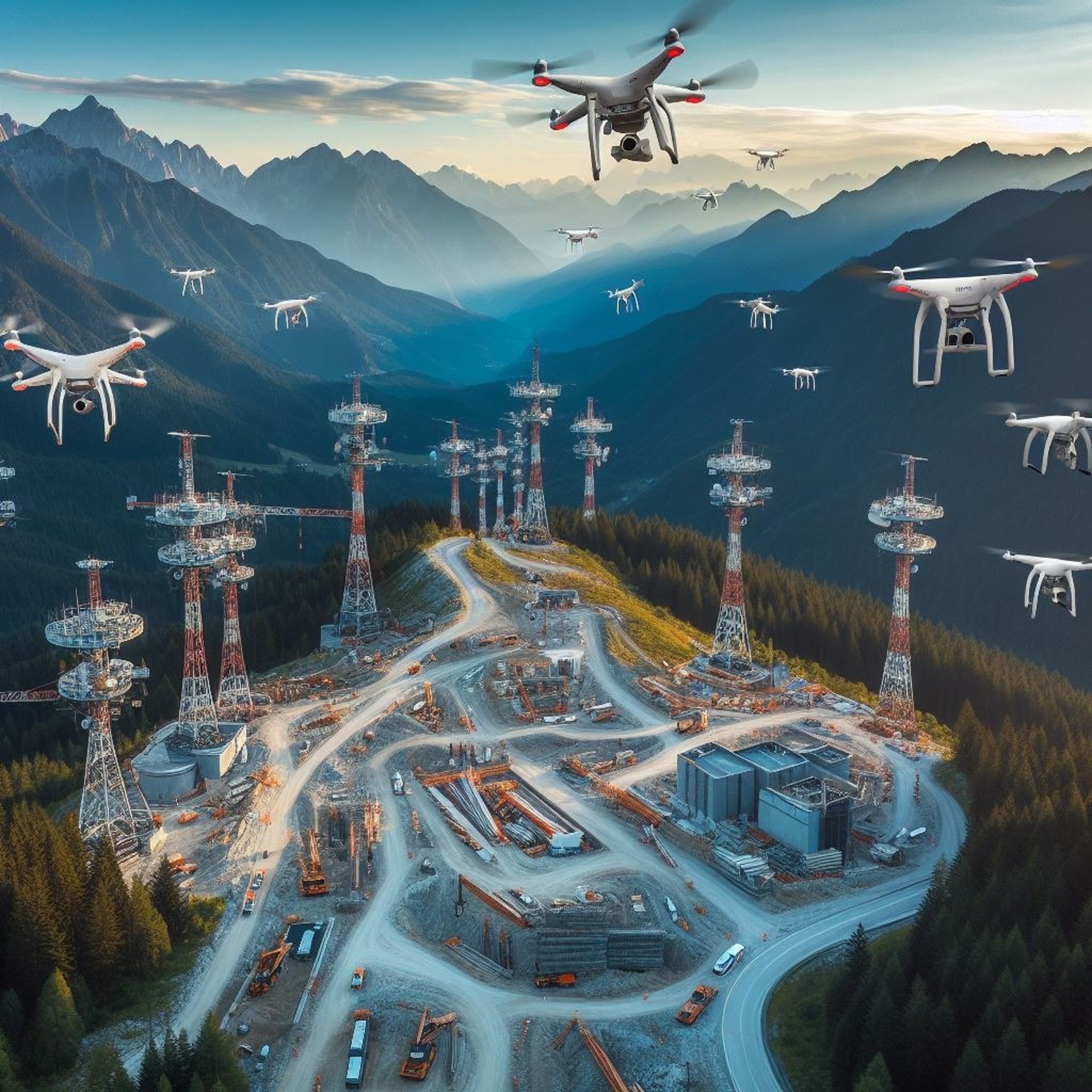
Drone Data Capture

How well do you know your towers or monopoles?
How well do you know your towers or monopoles?
For the Technical Site Survey (TSS) services we are planning to offer aerial photogrammetry services with the use of specialized drones
These services provide easy access to digital representations in 3D simulation environment of all your sites on a central platform, this data can be easily shared between departments and thus compare information from existing systems with the data supplied by our service.